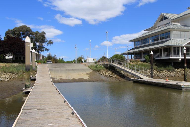
Estuary Parkmore info
Manager: City of Oakland
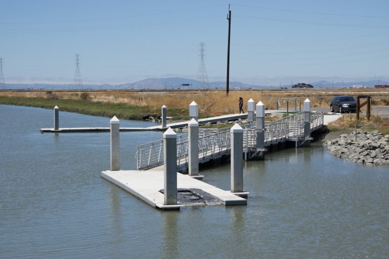
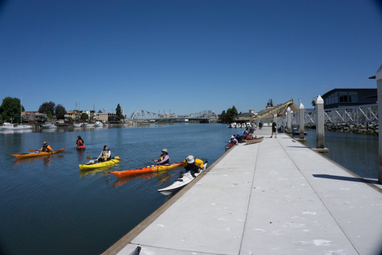
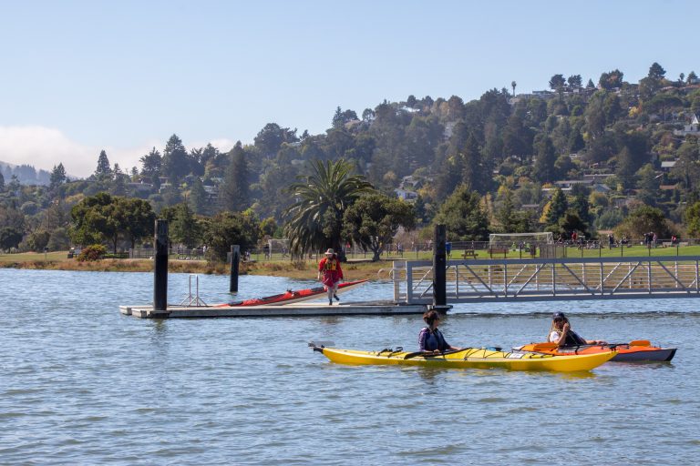
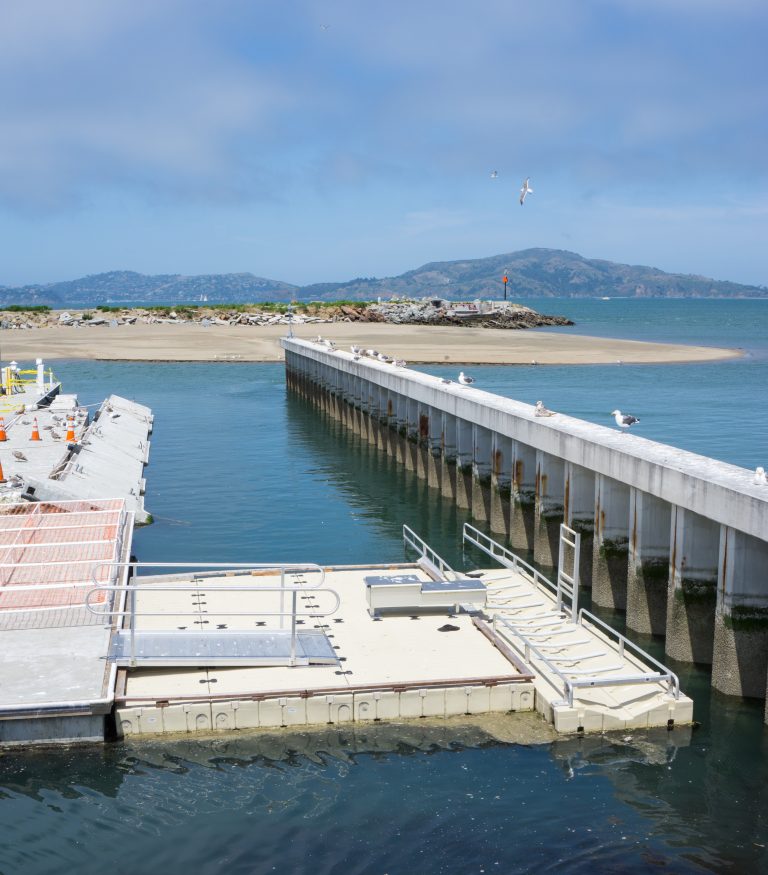
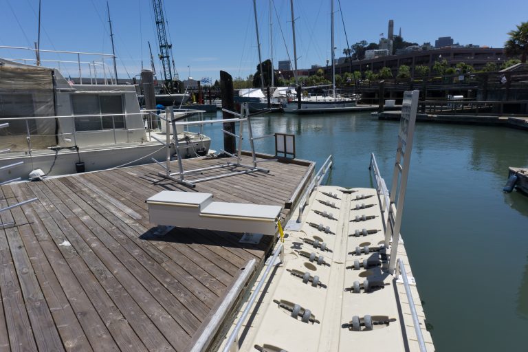
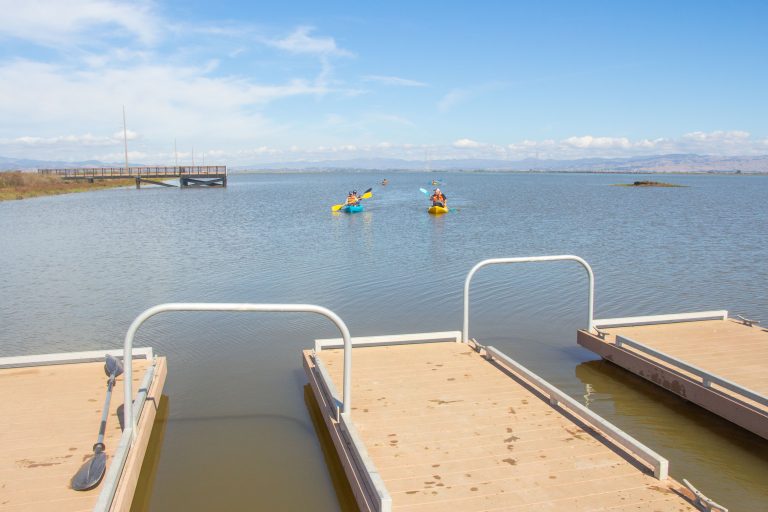
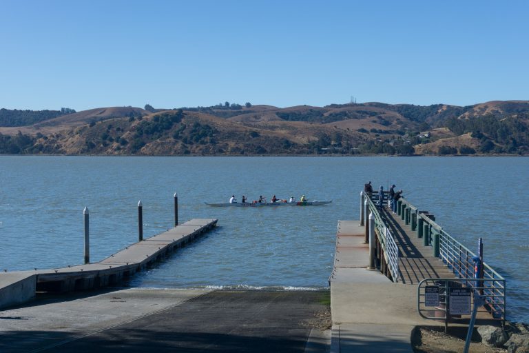
Launch Type: Low-freeboard dock, ramp, high-freeboard dock
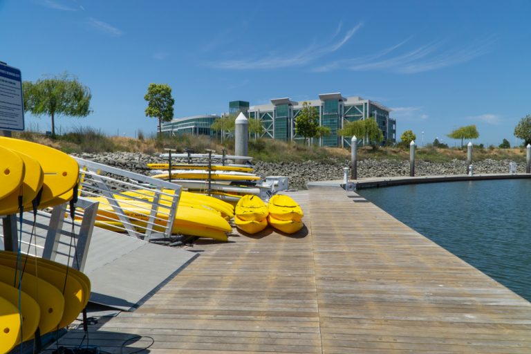
Facilities: Restrooms, parking, drinking fountains, aquatic center with boating club storage
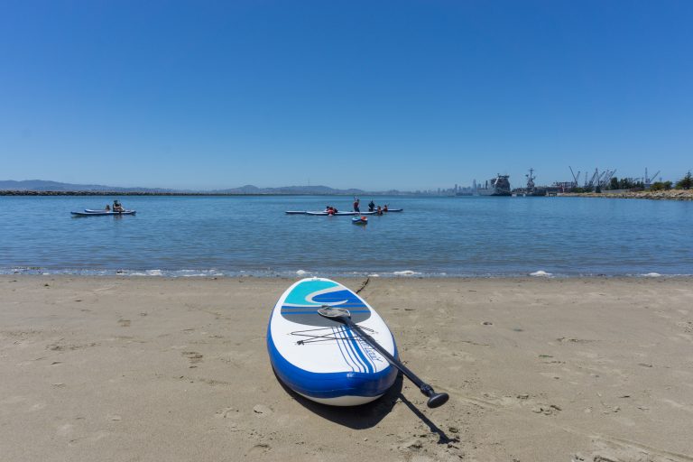
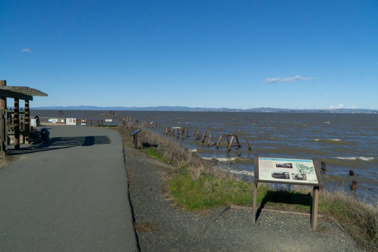
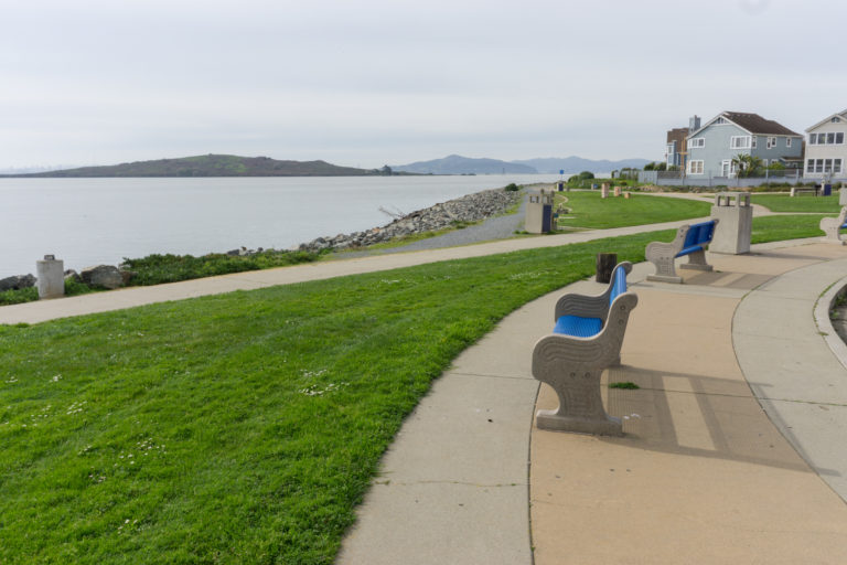
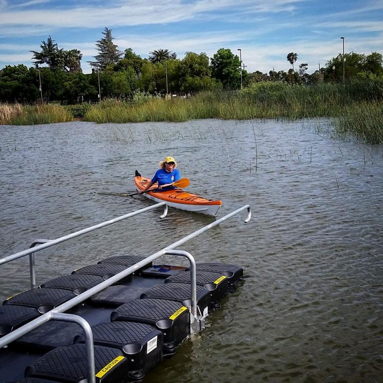
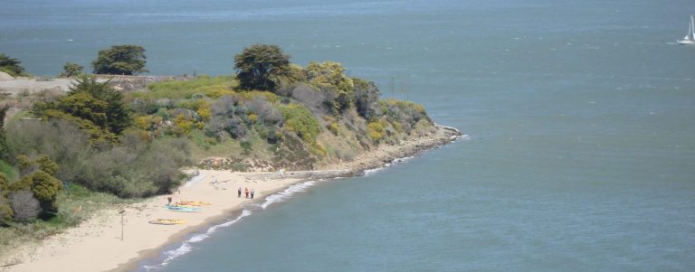
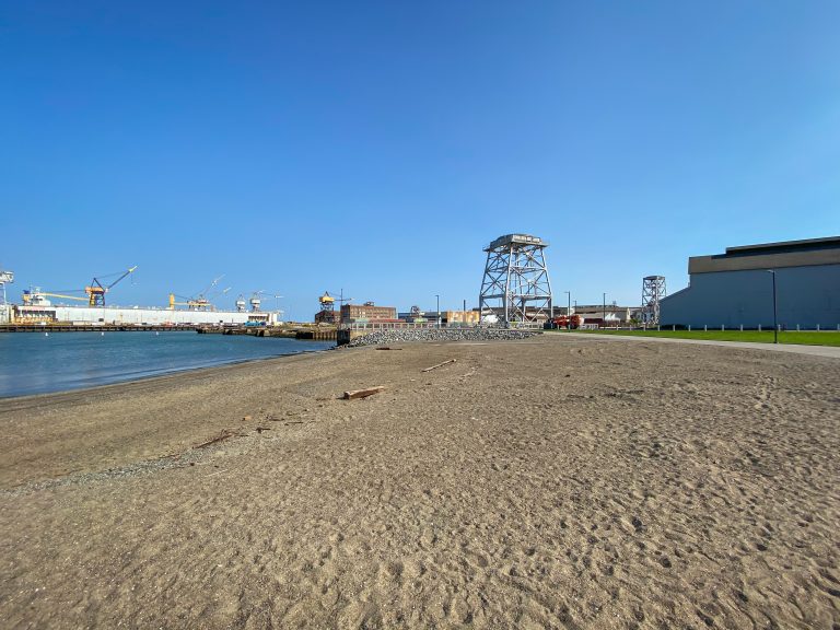
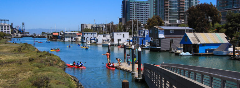
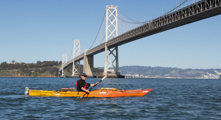
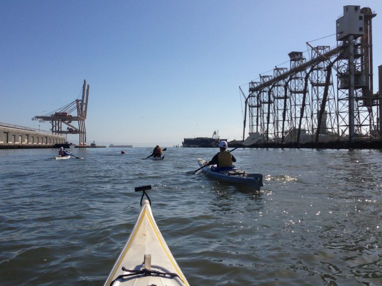
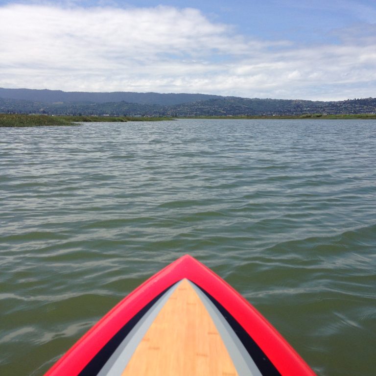
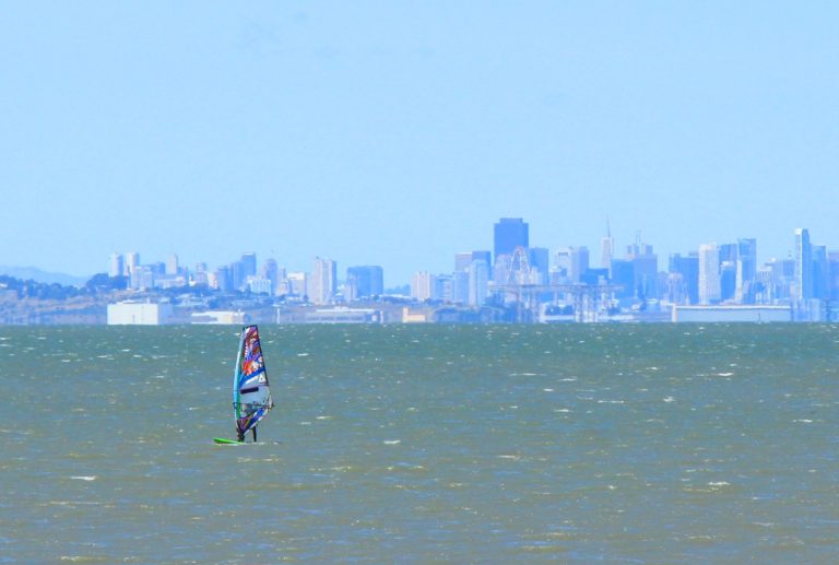
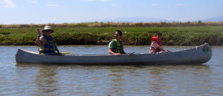
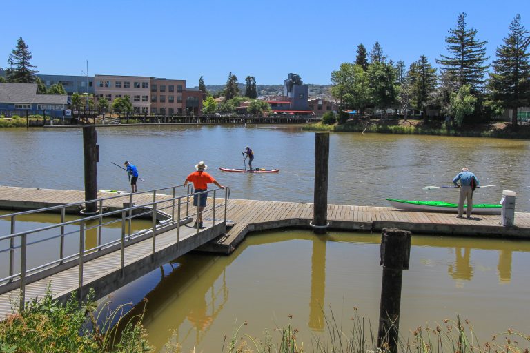
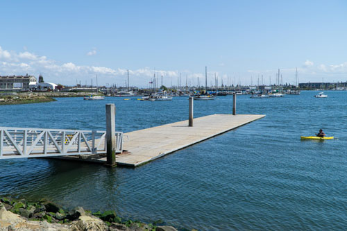
The relatively protected waters of the Oakland Estuary make it an ideal location for a variety of craft including larger team rowing and dragon boating. There are also a variety of nearby destinations to visit including restaurants at Jack London and wildlife in San Leandro Bay.
Directions to Estuary Park